FirstEnergy and Rappahannock Electric Coop will provide an update on the Page-Sperryville transmission line rebuild project at the Board of Supervisors’ meeting on July 6.
Shenandoah National Park
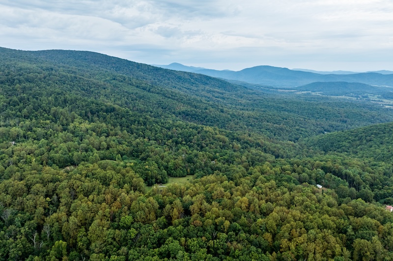
Shenandoah Borderlands project protects 5,000 acres for clean water, habitat, scenic viewshed
Shenandoah National Park is one of Virginia’s most beloved and visited outdoor spaces, attracting 1.7 million visitors in 2025. It’s also a global conservation priority for biodiversity protection and climate resiliency. For these reasons, The Piedmont Environmental Council has been strategically identifying and conserving privately-owned lands running along the park’s eastern edge with a project called the Shenandoah Borderlands Conservation Initiative.
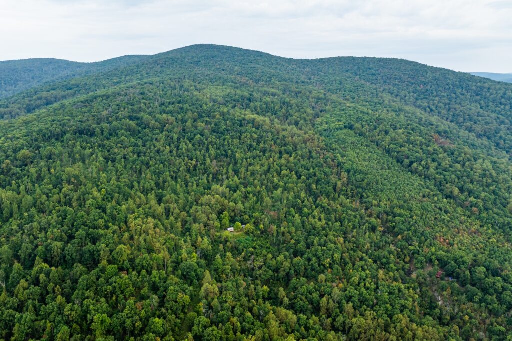
Wild & Connected: Shenandoah Borderlands property conserved
Nestled on the eastern slope of Saddleback Mountain, a small cottage in the woods has been a family retreat for sisters Gayle and Cathy Soloe for decades, since their father first purchased the 89-acre parcel adjacent to Shenandoah National Park in 1958.

Conserving the Southern Shenandoah Borderlands
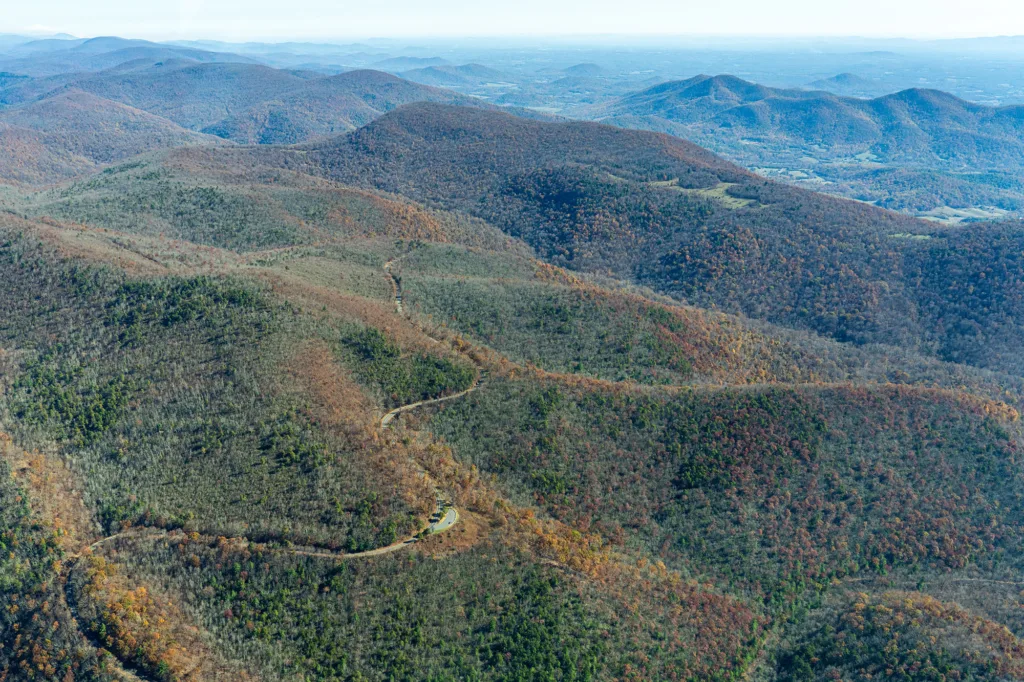
Looking out from the Moorman’s River Overlook in Shenandoah National Park, you’re treated to a breathtaking sweep of the forested, rolling foothills of the Piedmont. What’s not immediately apparent from this viewpoint is the fact that the majority of the land you see is privately owned.
Winter Updates from Albemarle & Charlottesville
We’re happy to share with you a few major conservation, land use, and trails updates worth celebrating, plus some impactful projects we’ll be focused on in 2024 and beyond.
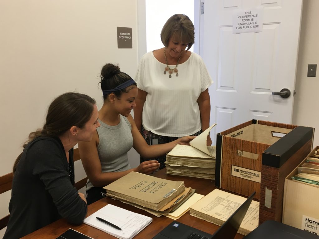
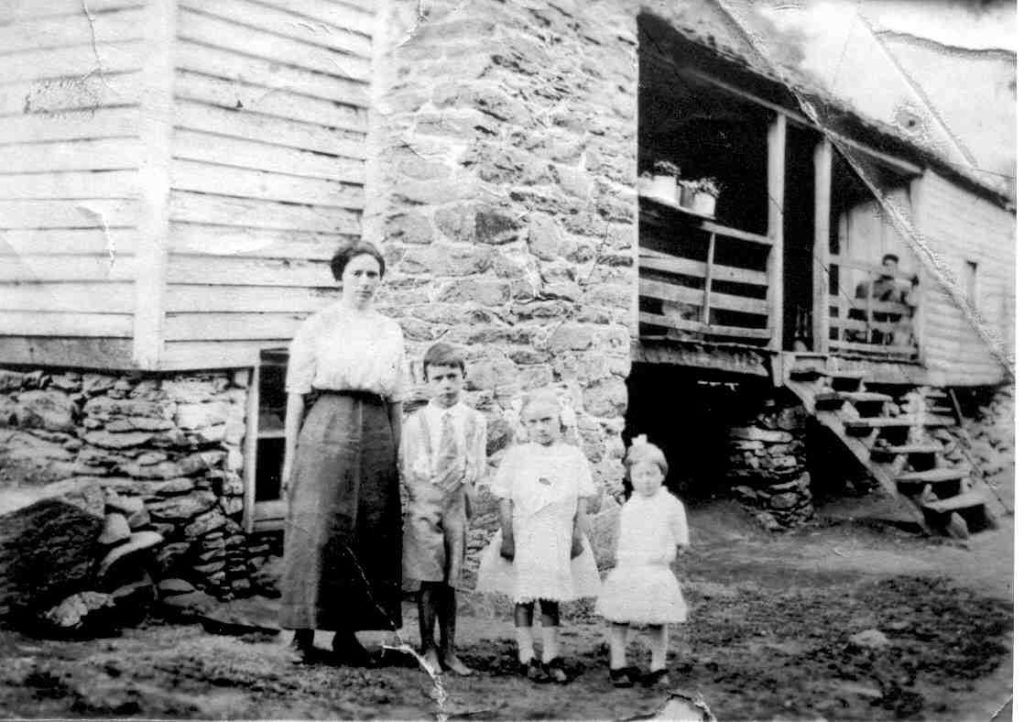
Histories Along the Blue Ridge: Digitization of Shenandoah National Park condemnation records in Madison County
Three days of rain gave way to sunshine on a May Sunday afternoon, perhaps a perfect symbolism for the official unveiling of a long-awaited project nearly 90 years in the making.
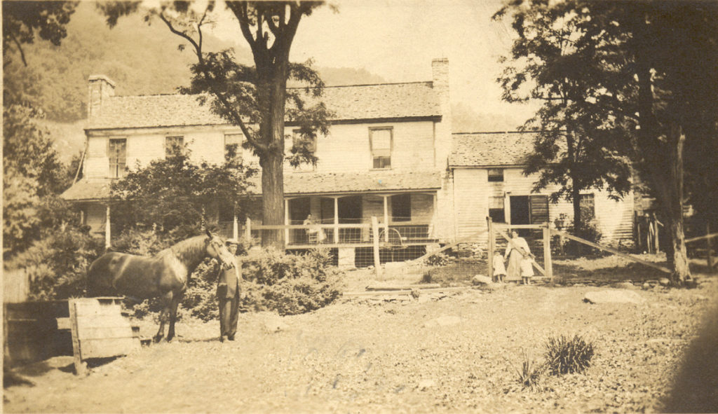
Digitization of Shenandoah National Park’s Condemnation Records in Madison County
Join PEC and the Madison County Historical Society on Sunday, May 15 in Madison for a public program on the digitization of condemnation records for the creation of Shenandoah National Park.
Madison County plans May 15 event to announce and present newly digitized Madison County land condemnation records related to creation of Shenandoah National Park
In partnership with James Madison University, and with funding from the Madison County Historical Society, The Piedmont Environmental Council (PEC) has completed the digitization of thousands of legal documents related to the Commonwealth’s 1930s-era condemnation of private lands in Madison County for the creation of Shenandoah National Park (SNP).
Working Together for Clean Water and the Brook Trout
PEC has been working with state agencies, partner organizations and landowners to improve fish passage across the Piedmont, one barrier at a time.

Moving the Needle
Read about the next generation making a difference in key PEC programs.