The Piedmont Environmental Council uses GIS mapping to analyze and communicate current and future land use and land conservation trends. Check out the PEC GeoHub to view some of the maps and StoryMaps created by The Piedmont Environmental Council.
You can find our most recent conservation easement maps – which detail the conservation easements added in the year 2025 within The Piedmont Environmental Council’s 9-county region – on our Flickr page.
If you have any questions related to PEC and mapping, please reach out to our Senior Cartographer & GIS Analyst Jasmin Khangura at 540-347-2334 x. 7035.
Recent Projects

Data Centers, Diesel Generators and Air Quality – PEC Web Map
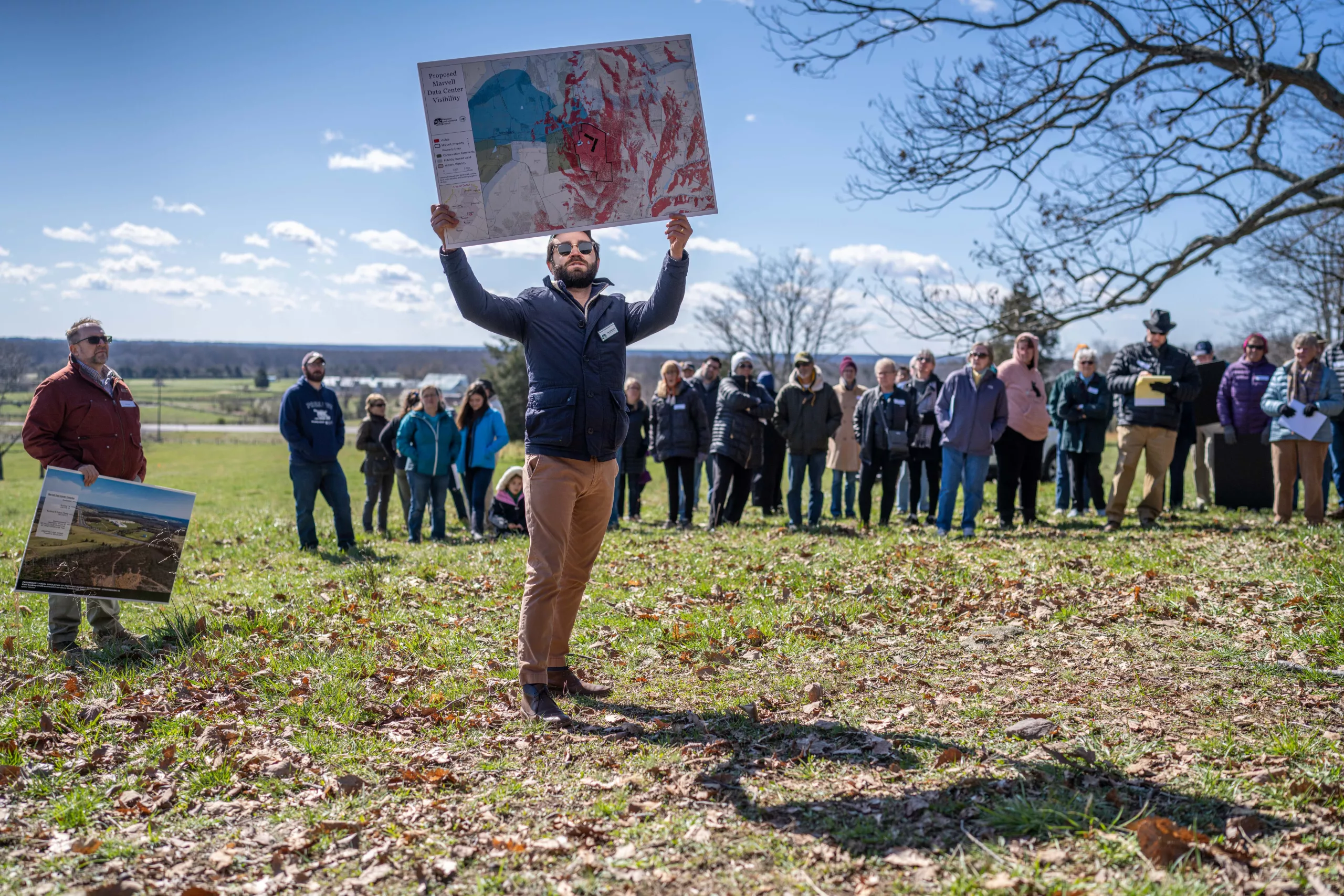
Existing and Proposed Data Centers – A Web Map
Scenic Rivers in the Piedmont – A StoryMap
Story Map Project: Fauquier’s Historic African American Communities
Transmission Proposals – PEC Web Map
Virginia’s Former Gold Mines with Priority Level for Reclamation – PEC Web Map
PEC is a proud recipient of software grants through the Earth Science Research Institute’s (ESRI) Conservation GIS Program.
PEC uses ESRI’s ArcGIS software to produce high-quality maps and to analyze potential project impacts. This helps us convey important information to the public, partner groups and decision-makers about land use proposals, active campaigns, as well as land conservation successes and opportunities.
This grant provides PEC with up-to-date mapping software and skills training, allowing us to continue to innovate.
A big thank you to ESRI’s Conservation Program for their continued support of non-profit work in the conservation field!