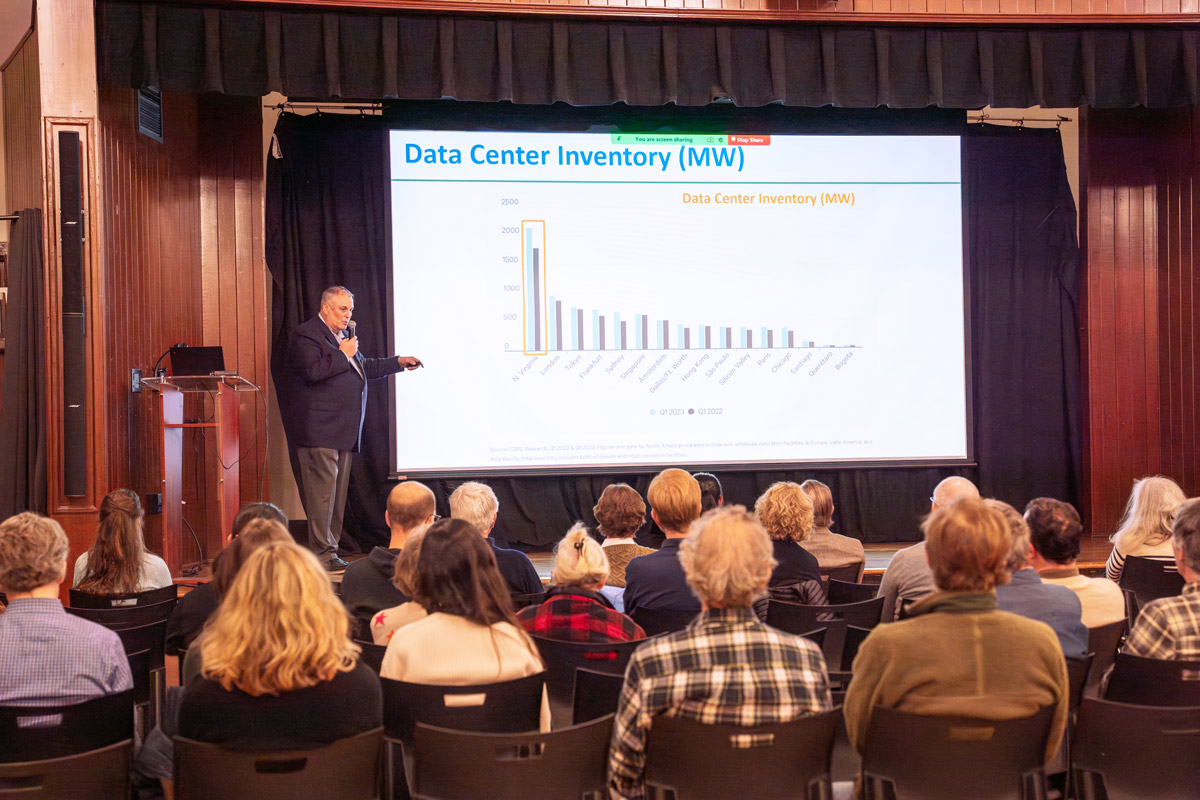
The explosive growth of the data center industry in Virginia is leading to enormous new power demands, a severely constrained electric grid, increasing reliance on polluting backup diesel generators and numerous impacts to residents and ratepayers alike.
How many data centers currently exist in Virginia? How many proposals are in the works? These are very good questions. It’s also very difficult to provide an answer given there is no publicly available dataset or state-level tracking of these facilities. In response, The Piedmont Environmental Council has pulled together this online web map showing existing data center facilities (that we are aware of), along with pending data center proposals we have found on various town and county websites, as well as through various news outlets.
The goal of our map is to present a simple, digestible, picture of the current and future data center footprint in Virginia built on credible sources. This is a crowd-sourced map and work in progress. It is our best approximation given the information available and will change as more data centers are proposed and approved. Read below for more about our mapping criteria. If you are aware of an existing or proposed data center project missing from this map… please let us know! Email [email protected] with details about the project and provide a link to source material if possible.
View the data center map full screen →
Note: You can use the “Layer List” found on the upper right-hand side of the online map to see the key and toggle on additional layers of interest. Click on the red dot for each data center to see details.
Additional Information:
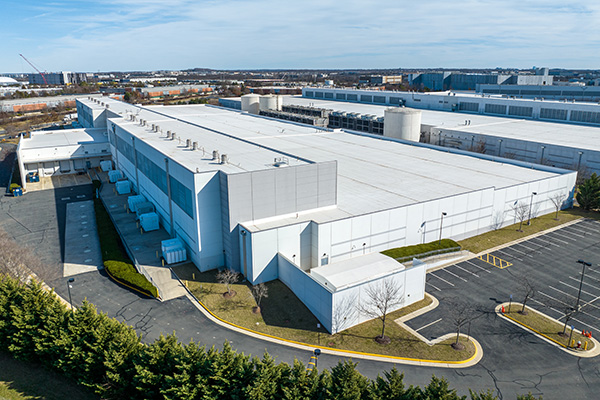
The Commonwealth is already home to the largest and fastest-growing data center market in the world, housing nearly 50% of all U.S. facilities, and by some estimates, enabling up to 70% of the world’s internet activity. As of this printing, Loudoun boasts over 27 million square feet of data center space, and Prince William claims over 5 million square feet.
However, millions more square footage of data centers are either under construction or approved for development in both counties. The two largest data center campuses ever envisioned, a combined 22 million square feet of data center space, are proposed as part of the Prince William Digital Gateway project, in a rural part of Prince William County, next to Manassas National Battlefield Park. Large data center complexes are also proposed in King George, Stafford, Spotsylvania, Caroline, Culpeper, Orange, Mecklenburg, and Surry counties.
This unchecked data center growth carries an insatiable demand for massive energy upgrades, extensive acreage, and tremendous water intake, jeopardizing the state’s efforts to meet its climate goals, improve air and water quality, advance land conservation and protect national and state parks.
In response, PEC is working with local governments and residents in the Piedmont to improve local planning and zoning to protect communities, especially those most vulnerable to utility rate hikes, air pollution, and climate impacts, as well as our lands, waters and wildlife. We’ve formed a Virginia data center reform coalition to bring together local organizations with state and national partners, leading the charge on a legislative platform that quantifies the impacts of this data center buildout and shifts the cost burden away from Virginia ratepayers at large. This effort includes a comprehensive study of the impacts to our natural resources and a framework to avoid and, when necessary, mitigate those impacts.
We ask all of our readers to join us in contacting elected officials in every corner of the state to demand better oversight of the data center industry and ensure costs are borne more fairly by the industry. It is critical that the state get a handle on this issue before it is too late.
Learn more at pecva.org/datacenters →
Data Center Mapping Criteria
This is a crowd-sourced map. We invite industry representatives, local planning staff, and government officials to share additional information that would contribute to the accuracy of the information presented. There is a need for additional state and federal oversight and regulation of this fast-expanding industry due to the far-reaching impacts it places on our electric grid, water resources, and regional air quality. There are many sites likely missing or underrepresented on both the existing and proposed data center layers but this is our best attempt to provide a full picture that can help the state start to understand the cumulative impacts of this growth. If there is information that is out of date, incorrect, or missing we would love to hear from you! Email PEC field representative Sarah Parmelee at [email protected] with any updates.
Proposed Data Centers
We are now seeing data center development proposals in both areas with existing data centers and in more rural counties that have not traditionally been targeted for this type of industrial growth. The potential tax revenue from these facilities has proven to be a primary driver in local approvals, in both rural and developed localities and very few projects have been turned down.
Criteria for including a site on our proposed data center layer:
- Intent to develop as a data center. If a developer or local government is marketing a site as a potential data center site, or credible reporting concerning a future site can be found, then the site has been included. Sources of this type may include:
- A posting on the VEDP website
- A posting on the developer or property owner’s page
- An article in an industry newspaper or local newspaper
- Advertising by local governments
- Publicly filed plans or applications. A site will be included if we have found a rezoning application, conditional use permit, site plan, or other public planning document that indicates that the future use of this site will include data centers. Sources of this type may include:
- Rezoning applications
- Conditional use permit applications
- Site plans
- Other documents outlining the specifics of a project that have been published by the approving locality
- Sites must be specific and distinct. Unless there is a site plan/other public application, or marketing/news source that identifies a specific location and/or provides a distinct building location and footprint, by-right zoning has not been included in this map. This can include addresses that can be linked to tax map information which can be linked to a known data center developer.
Information that SHALL be included:
- X,Y coordinates
- Name of the project
- Name of developer, applicant, or listed owner on local tax maps
- Source for the project (news article, public documents, brochures)
- Type of construction (new vs expansion)
Information that MAY be included, if available:
- Square footage
- Expected energy usage (Megawatts)
- Other contextual information
Existing Data Centers
Existing data centers can be easier to find by cross-checking aerial imagery, however, due to the speed with which this industry has been building, some built facilities do not have access to power yet and may not be operating. By that same token, some built facilities may not yet be shown on available aerial maps. Some facilities may also be partially built or have announced plans to expand. We have sought clarity in these circumstances, however, there may still be errors in the data.
Criteria for the existing data center map layer:
Credible indication that there is a data center on the site.
Sources may include:
- Tax cards indicating the use of the site for data centers
- A posting on the VEDP Website or other data center industry site marketing available server space
- Company listing of the site as a data center
Information that SHALL be included:
- X,Y coordinates
- Name of the project
- Name of developer, applicant, or listed owner on local tax maps
- Build status (complete vs expanding)
Information that MAY be included:
- Square footage
- reported energy load (Megawatts)
- Source for the project (tax cards are preferred)
- Other contextual information
Special thanks:
Special thanks to PEC’s GIS Team for their ongoing updates to this map (originally created by former PEC staff member Watsun Randolph, with assistance from former PEC staff member Wyatt Burttschell and PEC Land Use Field Representative Sarah Parmelee.
Questions? Contact our data center team at [email protected].