The Charlottesville-Albemarle Regional Planning Organization is applying for a VDOT SmartScale grant in the 2020 cycle to build a shared-use path along Route 20, connecting Charlottesville sidewalks and bike lanes to the entrance of Piedmont Virginia Community College and the Saunders-Monticello Trail and beyond. In doing so, the project will link Charlottesville and Albemarle communities together and integrate the area’s most popular trail into the regional network and bring numerous economic, environmental and health benefits. The $2.5M grant request will be submitted this summer.
A vision of a better-connected community
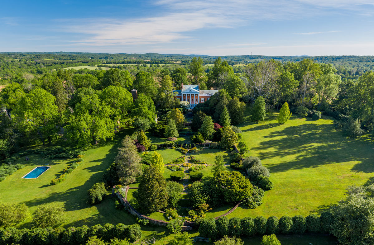
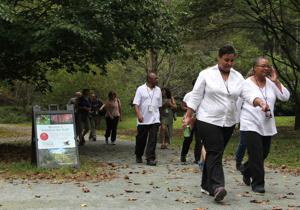
Albemarle and Charlottesville have many great places to walk or bike but too many of them are difficult to reach without a car and contain problematic bottlenecks like parking lots. Case in point: the Saunders-Monticello Trail and surrounding 370 acres is one of central Virginia’s most popular open space destinations, with more than 100,000 annual visitors. Its trailhead is within sight of the Charlottesville city line but it is separated from the city by an interstate and from neighborhoods in both the city and the county by Route 20, on which vehicles travel at high speeds and which lacks sidewalks and bike lanes.
Situations like this are replicated throughout the combined urban area, which is why PEC teamed up with the Thomas Jefferson Planning District Commission (TJPDC) to both envision a robust network of bicycle and pedestrian infrastructure that will connect residents to important destinations and mobilize resources to implement that vision.
In 2019, the TJPDC completed the Jefferson Area Bicycle and Pedestrian Plan with assistance from PEC. The Plan maps a comprehensive network of bike lanes, sidewalks, and shared use paths that seamlessly connect Charlottesville and Albemarle neighborhoods to schools, shopping, downtown and natural areas while also identifying bicycle connections to and among adjoining counties.
The Plan prioritizes opportunities in which cooperation between the localities and robust community engagement can bring on-the-ground results. One of the plan’s recommendations is moving closer to fruition: a pedestrian and bicycle connector to close the remaining gap between Charlottesville and nearby Monticello, as well the Saunders-Monticello Trail, surrounding parkland and Piedmont Virginia Community College (PVCC).
The Route 20 Connector Project
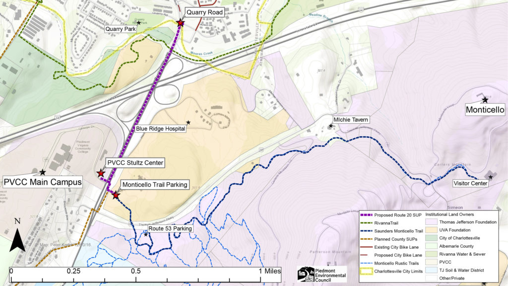
The Charlottesville Albemarle Metropolitan Planning Organization, which the TJPDC staffs, is submitting a SmartScale application to fund a ¾-mile long shared use path along Route 20 that will link the Charlottesville sidewalk and bike lane network to the Saunders Monticello Trail and to the entrance of PVCC at College Drive. The project is expected to cost $2.5M (primarily funded by the Commonwealth).
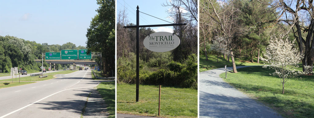
The proposed path (width, materials and precise location TBD) will be appropriate for walking, biking, running, strollers and wheelchairs. The route takes advantage of road space created when a vehicle lane was closed, eliminating the need for a new bridge over Moore’s Creek. It follows Route 20’s wide median to avoid the complicated Interstate 64 interchange and adds crosswalks at College Drive. From there, trail users will be able to cross east to the Saunders-Monticello Trail (and its gentle path to the mountain top) or west to PVCC. It will be flat and shaded by recently-planted oak trees (some of which need to be carefully relocated but should stay on-site). This project is the latest phase of a multi-year effort, which included extensive community conversations about why the Monticello Trail is so popular. This trail design process will embody those qualities as much as possible.
Aside from connecting residents and visitors to the area’s most popular park, a World Heritage Site, and the entrance to a community college, the route will also be useful for commuting to the City from Albemarle’s urban ring (or vice-versa) while providing a more fitting welcome to riders on national Bike Route 76. Albemarle County also has plans to extend the shared use path southward along Route 20 to neighborhoods and schools beyond, as part of a separate, future application. This also makes it easier to imagine formalizing connections to James Monroe’s Highland, Carter’s Mountain, Michie Tavern, Morven and beyond.
Numerous Community Benefits
Trails like this provide numerous benefits, including exercise, relaxation and carbon-free active transportation. They contribute significantly to economic growth, public health and social cohesion, while reducing pollution, stress and the need for parking or new roads — all while giving families and friends beautiful places to gather. They are a crucial ingredient for the types of compact, highly livable communities that are affordable, sustainable and rich in everyday access to nature that PEC actively promotes.
This specific connection makes sense for many reasons, and it is highlighted in both Albemarle and Charlottesville’s Comprehensive Plans. There are many complicated reasons why the Route 20 trail has not yet been accomplished. During my time as a graduate student at UVA’s School of Architecture, I worked with a team of fellow students, faculty, the TJPDC and an Advisory Group that is now guiding implementation of the connector). What we discovered has informed how I approach my work and the way we are tackling the larger connectivity problem.
A Project Within Reach
The team supported local planners by analyzing four different corridors, studying the Saunders-Monticello Trail, surveying and interviewing its users and community members, researching analogous case studies and providing cost estimates. The Route 20 corridor appeared to be more feasible than the other three possibilities, so VDOT hired a consulting firm, Kittelson & Associates, to do a more detailed analysis. Kittelson’s recommendations are very preliminary, but good enough to serve as the basis for the Route 20 SmartScale application. The actual design will happen if/when the grant is awarded.
This corridor project has a high likelihood of success. The underlying issues have been identified and the proposal budgets to address them. The connection meets an important and proven community need that has been viewed through multiple lenses and perspectives. Most importantly, a broad and diverse group of stakeholders is invested and organized to help it succeed. This methodical, collaborative, community-focused and iterative approach is one example of PEC’s and TJPDC’s broader efforts to connect Charlottesville and Albemarle communities.
As this project moves forward, each step will model these principles with methodical analysis and robust community discussion. We will keep you updated as the Route 20 SmartScale application is reviewed, and hope for a successful outcome.
Route 20 Shared Use Path – a presentation by TJPDC from our joint virtual meeting on April 2, 2020.
Additional Reading: