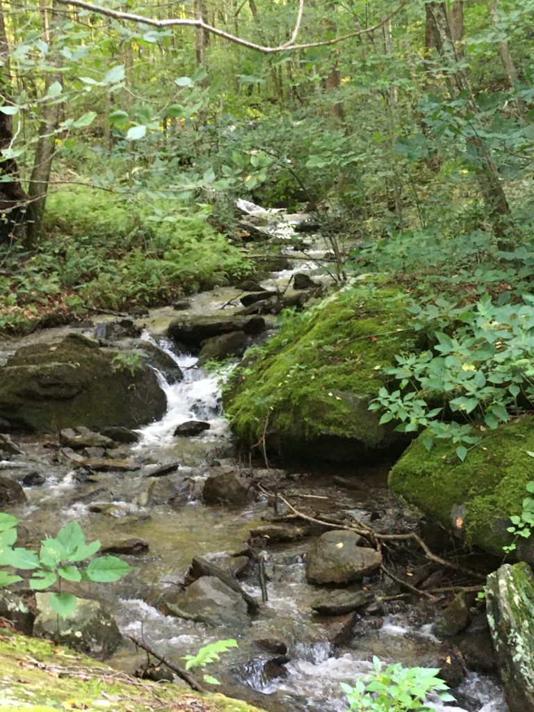
In western Albemarle County, the cold, pristine waters of the Moormans River spill over a towering Sugar Hollow Dam and wind eastward for 14.3 miles. Flowing gently at first through historic Sugar Hollow and White Hall, it gathers strength and speed from Doyles River, Wards Creek, and other streams before joining the Mechum River at Brinnington to form the Rivanna River. Eventually, the Moormans’ waters reach the James River and the Chesapeake Bay.
Moormans River

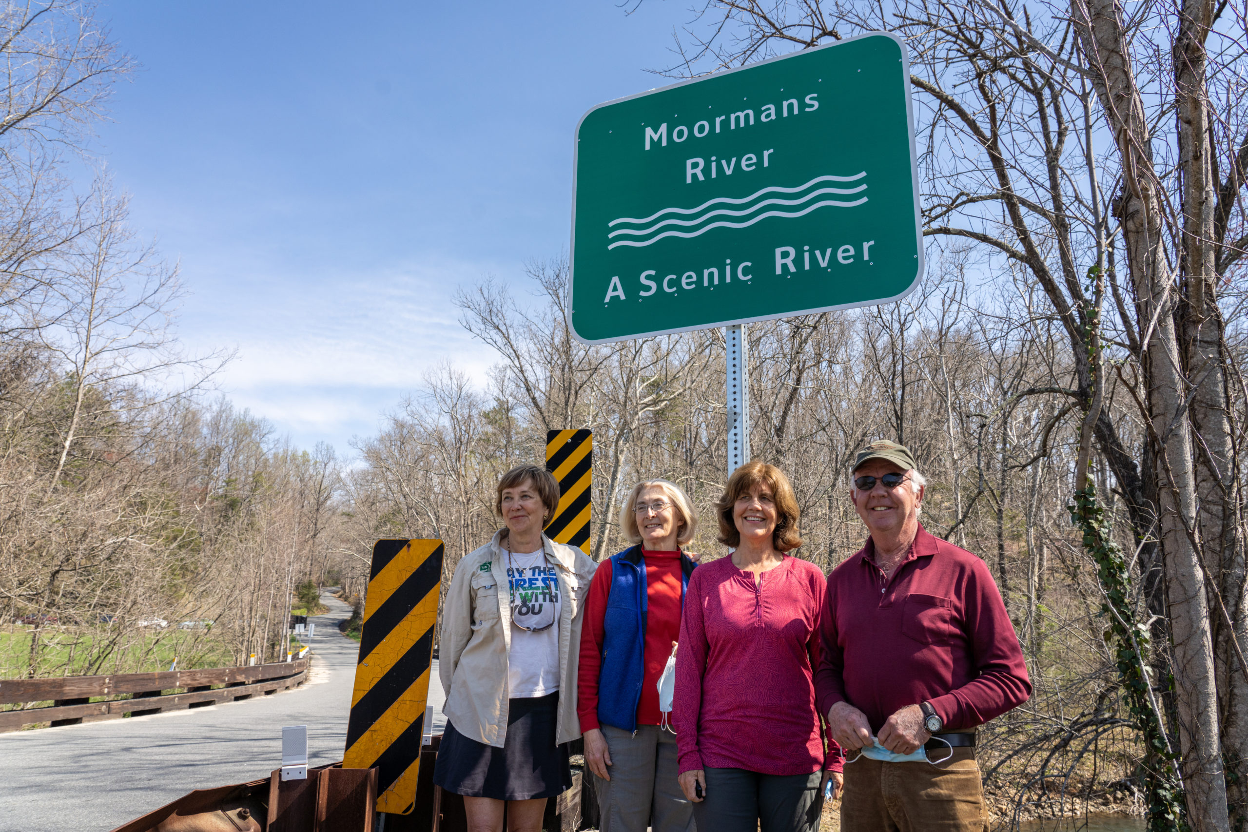
New Virginia Scenic River Signs Unveiled along Moormans River
On Monday, April 5, community members joined with Piedmont Environmental Council staff members under clear blue skies and warm sunshine to unveil new Virginia State Scenic River signs along the Moormans River in Albemarle County.
Standing the Test of Time
When Bob and Carroll Gilges retired in 1996 from a life filled to the brim with the adventures and demands of career, raising three daughters, travel, and many moves, they found their slice of heaven in the heavily wooded northern slope of Buck’s Elbow Mountain, mere miles from Shenandoah National Park and along the bank of the Moormans River in Albemarle County’s historic Sugar Hollow and near White Hall.
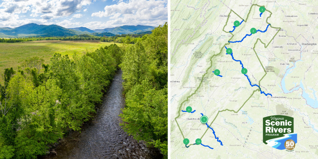
Scenic Rivers in the Piedmont – A StoryMap
In 2020, the state of Virginia commemorates 50 years of dedication and commitment to the conservation of Virginia’s water resources through the Virginia Scenic Rivers Program. In honor of that anniversary, PEC Fellowship program participants, Meredith Hickman and David Malcolm, created a StoryMap that celebrates the ten designated scenic rivers in The Piedmont Environmental Council’s region.